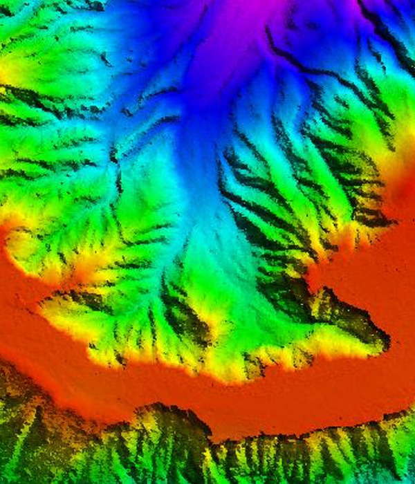
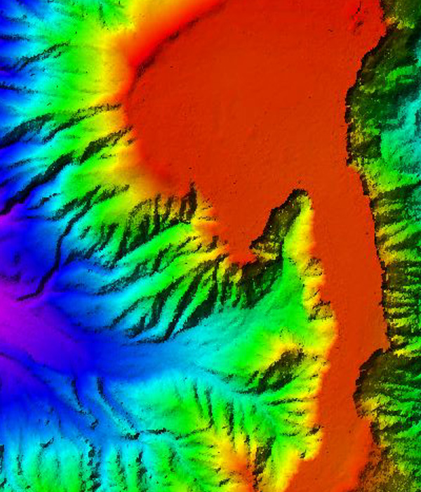
Atlaspoint provides LiDAR data processing services for various industries such as transportation, Flood mapping, power (transmission), transportation, forestry, land use planning and emergency management. It is an optical remote sensing technology that can measure the distance to, or other properties of a target by illuminating the target with light with very high accuracy and detail. It is ideal for generating digital elevation models and contours LiDAR is the most cost-effective method of capturing detailed height Data. LiDAR Processing Services such as,