
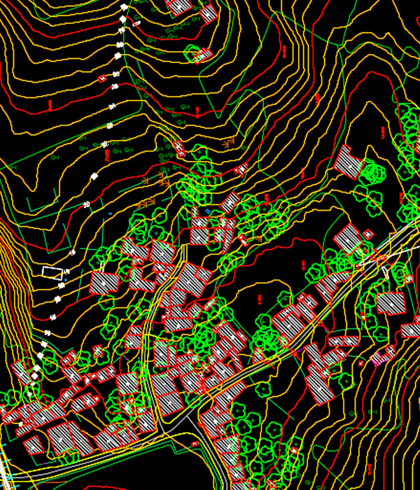
Atlaspoint experienced team of Photogrammetrists can produce superior quality planimetric and topographic data with speed and consistency. It typically involves analyzing one or more existing photographs with photogrammetric software to determine spatial relationships, Used to create topographical maps. We provide complete solutions on all tasks of Digital Photogrammetry such as,