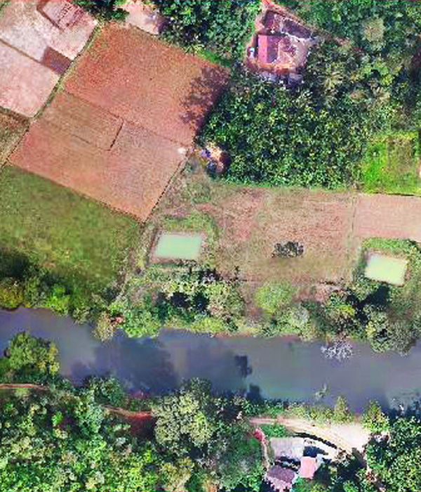
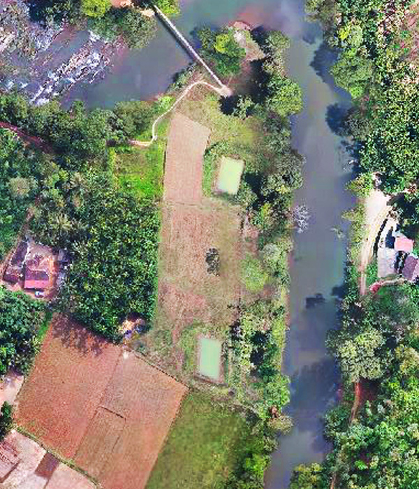
The Orthophoto Productions produced by Atlaspoint has been the source of base maps for various mapping projects such as land administration, land use planning, gas, sewer management, transportation, electric, sewer management, water and others. An orthophotograph is an aerial colour photograph geometrically and geographically corrected to be superimposed on a plan. We deliver orthophoto mosaics according to the Client's requirements and are also capable of generating RGB as well as CIR(RGBI) orthophotos. Colour infrared (CIR) enhances aerial images of vegetation by colouring the green vegetation red in colour. CIRorthophotos are generally used to determine the area of vegetation. We are also capable of developing projects using LiDAR derived elevation models. we can also generate orthophotos with the client supplied inputs i.e. Trajectory, Project file, Laser point data, TIFF images captured while flying, Ground control points (GCPs), Camera calibration file. The company works on four band imagery and RGB which includes:? Ortho-mosaicing? Colour Balancing? Seam line editing and Tile cutting.