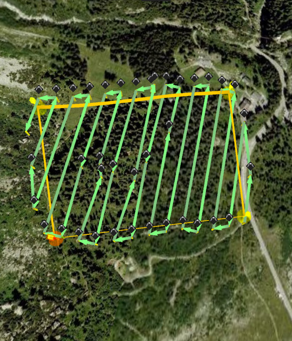
Our UAV systems originally cover large areas to catch high resolution data invisible or Near infrared (NIR) spectrum for generating highly in depth and perfect orthophotos, 3D Digital Elevation Models, topographic data, NDVI maps. The data provides appreciated awareness to our clients in terms of valuation, development, site design and maintenance. Occupied with a variety of compact and portable UAV platforms appropriate for unpredictable situations, we provide quick, cost effective and safer solutions for geospatial data group with resolutions as high as fit for 1 cm/pixel.
Land Use Mapping
Mining And Stockpile Analysis